Durham Regional Forest
The Durham Regional Forest Main Tract is comprised of plantation forests established over 90 years ago, as well as mixed hardwood areas.
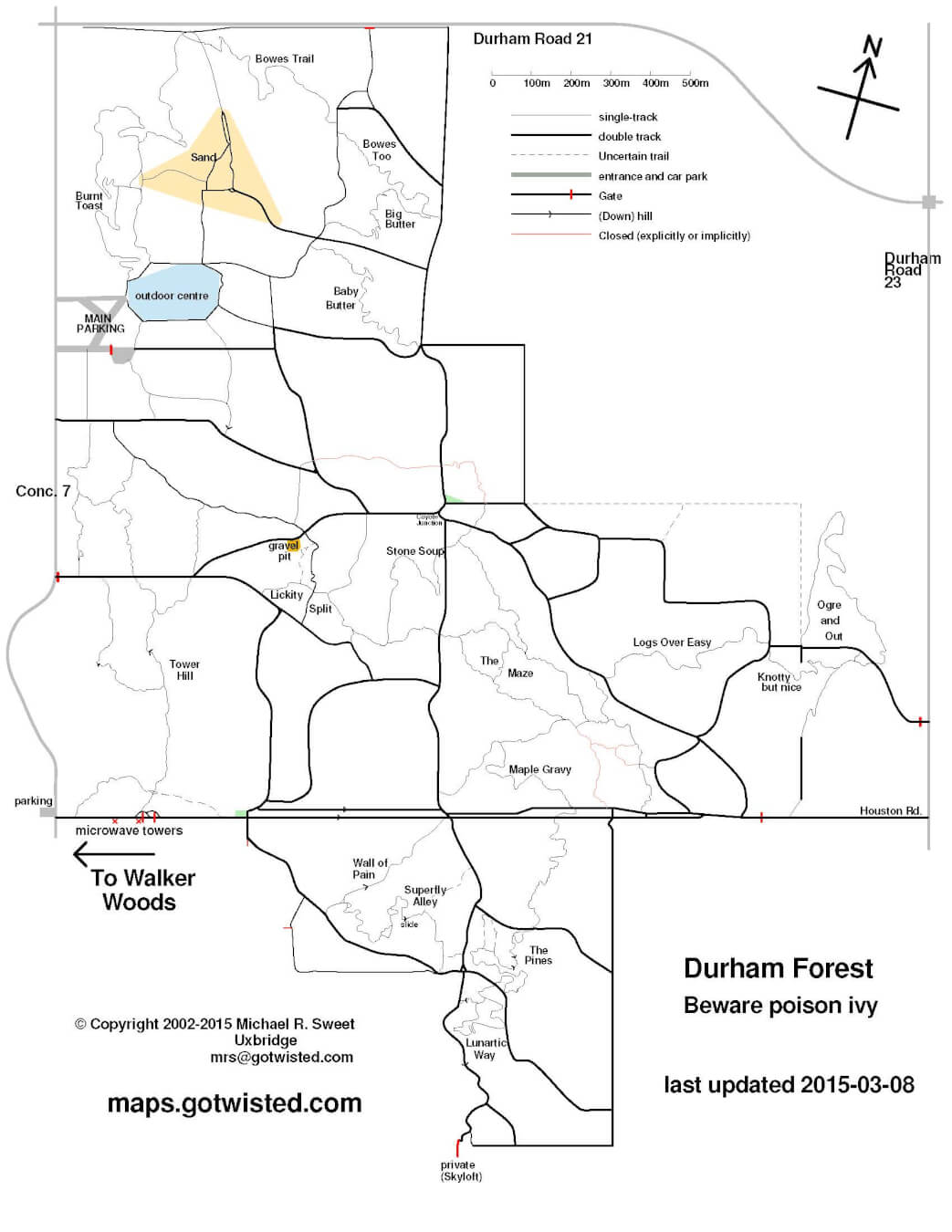
There are over 16 kilometres of trails in four loops, as well as numerous secondary trails throughout the main tract of Durham Forest which provide an opportunity for hiking, biking, horseback riding or skiing on the rolling topography of the Oak Ridges Moraine.
For Mountain Bikers
There is a great selection of fast, flowy and technical single and double track trails. Its a bit of a maze with little signage, so best to have a guide or join a group ride if you want to find the best trails first time. Trail Numbered posts are at trail intersections and markers key locations. Each post has a trail map, with a “You are here” indicator. The posts have a sloping top, with the slope oriented towards the North. Also, there are blaze markers, with directional arrows to help you follow the trails.
Find full trail safety updates on the Durham Mountain Biking Association website.